
It’s curious that Belgium, despite its 65-kilometre-long coastline, doesn’t have a single natural island off its shores. That small geographical fact makes at least one national debate refreshingly simple — defining the country’s geographical centre. There can still be different ways to calculate it, but at least no one has to argue over which islands count.
From a historical perspective, what’s even more intriguing is that the country’s centre hasn’t always been where it is now. Before the Treaty of Versailles in 1919, the heart of Belgium lay in Ittre, because the eastern cantons — Eupen and Malmédy — were still part of Germany.
Under that treaty, Germany renounced in favour of Belgium all rights and titles to those territories. And just like that, the geographical balance of the country shifted. The new centre was later found to be in Nil-Saint-Vincent, in the municipality of Walhain.
The current site was officially inaugurated on August 22, 1998. For decades, Ittre had proudly held the title, but the annexation of the eastern cantons quietly moved the point eastward. It wasn’t until 1995 — seventy-six years later — that the French National Geographic Institute recalculated the coordinates, confirmed the following year by its Belgian counterpart. Geography takes its time.
What surprised me more than the shifting borders, though, were the roads. Belgium is at the heart of Europe, yet some of its roads feel like they belong elsewhere — patched, uneven, occasionally cratered.
I had driven from Luxembourg, where I’d just visited that country’s geographical centre before sunset, heading toward the artificial lakes of Eau d’Heure. The night drive to Lac de l’Eau d’Heure felt endless, surrounded by the flicker of construction cones and the rattle of the car over rough asphalt. The roads were quiet, thankfully, but I found myself worrying more about my tyres than about the Porsche that flew past as if on a racetrack. Driving at night always sharpens the senses — headlights cutting through darkness, each bump a small jolt of alertness.
The next morning, I had a short drive ahead — just an hour from my hotel by the lake to Walhain, seventy kilometres north. I expected something calmer. Instead, Belgium offered another lesson in patience. Within the lakeside community, the speed limit was ten kilometres per hour — fair enough, since children were playing outside. I followed it carefully. The driver behind me, apparently late for something existential, overtook immediately after the junction, ignoring every road sign in sight. Suddenly, the abundance of speed cameras in this country made perfect sense.
The rest of the drive went peacefully enough. Waze, however, tried to direct me through a street marked Residents Only. Rather than test Belgian hospitality, I parked near a petrol station and walked the remaining one and a half kilometres to the point.
Next to the station stood a small self-service vending machine selling local organic juice and snacks — an endearingly Belgian touch, both practical and quaint.
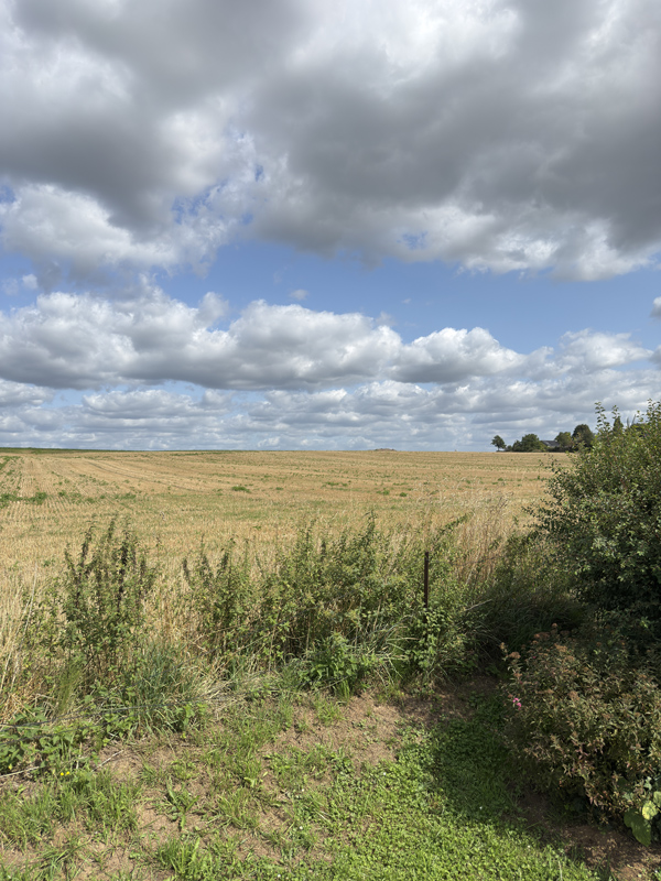
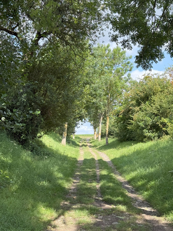
The walk through Rue Margot and Chemin du Tiège was pleasant and quiet. The houses were neat, their gardens well-kept, and the air smelled faintly of cut grass and cornfields. I passed an old windmill in the distance before turning onto a narrower path that led to the monument itself.
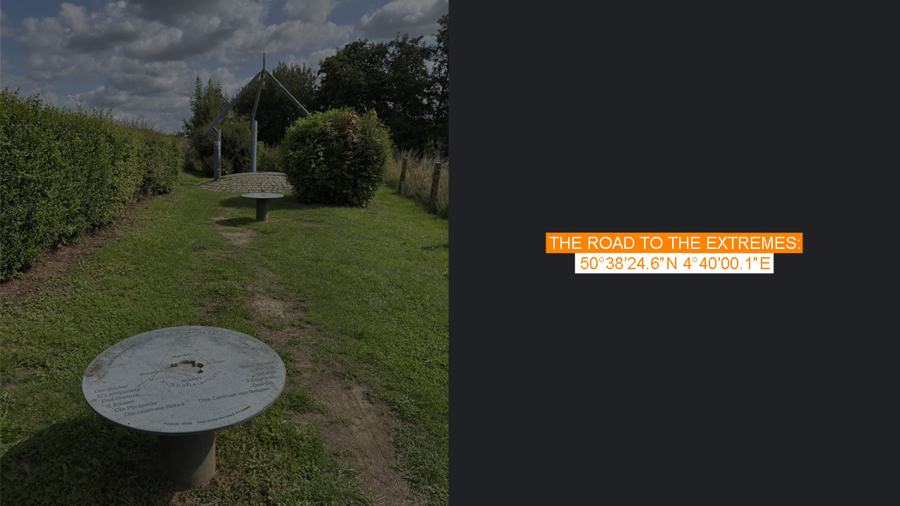
The geographical centre of Belgium is marked by a metal sculpture designed by architect Bernard Defrenne. The base represents the Earth’s crust, the triangle above it symbolizes Belgium, and its three pylons stand for the country’s three regions. A slender metal tube pointing skyward marks the exact central point — as if Belgium’s quiet heart were looking up.
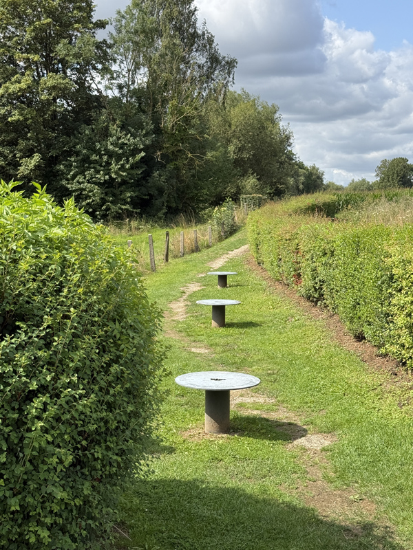
It was peaceful here on this early August morning. A few cyclists passed, their wheels whispering through the warm air, but no one else seemed to notice the monument. To be fair, it’s not a spectacular place — no sweeping views, no dramatic landscapes — just a quiet field at the centre of a complicated country.
Still, there was something quietly satisfying about standing there. Another geographical heart found, another invisible point on the map turned into a small, personal memory.