Reaching the southernmost point of Luxembourg had turned out to be surprisingly complicated. The same could not really be said of the northernmost one.
Originally, I had planned to visit here the previous day while driving south from the Netherlands, but my schedule slipped a bit and darkness fell before I arrived. To make things even less convenient, my hotel was booked far away on the southern side of the country. So it wasn’t until twenty-four hours later that the moment finally came.
The northernmost point of Luxembourg lies right on the Belgian border. I had driven here from the country’s westernmost point, crossing the rolling farmland of the Luxembourg countryside. On both sides of the border there’s a cluster of shops, petrol stations, and an ALDI. To reach it from the Luxembourg side, I actually had to cross briefly into Belgium, take a roundabout there, and drive back across the border. It might be one of the few supermarkets in the world that can only be reached by car through another country.
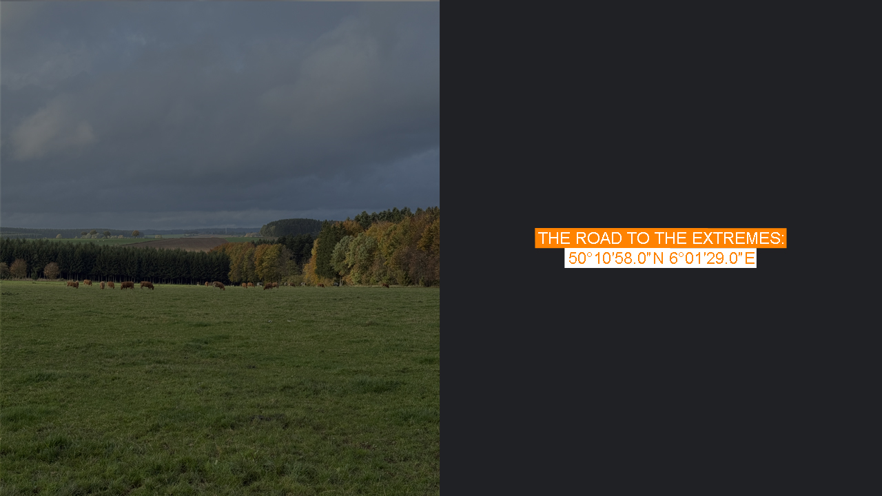
I parked at the ALDI lot, and from there I could already see the real destination just a few dozen metres away — the spot where the border between Luxembourg and Belgium makes a sharp right-angled turn. If one ignored the nearby shops and the busy road, the place itself was quite rural: open fields stretched both south into Luxembourg and north into Belgium. Being on high ground, the view northward opened beautifully across a valley and toward the next hill beyond.
For a supposedly quiet rural road, the traffic was surprisingly steady. Cars kept passing in both directions, and I had to wait for a pause long enough to take even a single peaceful photo of the border stone. While I was watching the flow of traffic, another car stopped at the ALDI parking lot. A woman got out and started walking toward the same spot. For a moment I wondered if this might be one of those rare occasions when someone else had come to see the northernmost point of Luxembourg — another border enthusiast, perhaps.
She didn’t go to the stone marker, though, but instead headed to a nearby traffic sign and began rummaging behind it. It took me a while to realise she was probably searching for a geocache. As the rain began to fall, I left her to her treasure hunt and went inside the ALDI for some shopping. When I came back out, she and her car were gone. The border stone was mine again — though the stream of passing cars hadn’t slowed one bit.
Satisfied that the point had been properly visited, I drove to a nearby petrol station to refuel. Even that involved the same border routine: from the ALDI on the Luxembourg side, I had to cross into Belgium again, loop through a roundabout, and come back into Luxembourg. Inside the station, I paid for my fuel — I had learned it’s best to choose a pump number you can easily show with your fingers, though this time I had picked number 18, so I took a photo just in case. The cashier spoke excellent English, and the payment went smoothly.
My next destination, the highest point of Luxembourg — Kneiff, was just three kilometres away. About fifteen minutes from here lies another notable place: the tripoint of Germany, Luxembourg, and Belgium by the Our River. It is a far more visited spot, marking the place where the 148-kilometre-long border between Belgium and Luxembourg ends. That border begins at the other tripoint — where France, Belgium, and Luxembourg meet — and that is where border marker No. 1 is located.
Either of those tripoints would have been more touristic, more well-known destinations. But instead, I ended up beside border marker No. 286, simply because it happened to be the northernmost point of Luxembourg.