
It’s been over a year since I visited most of the extreme points of Denmark. Looking back, I wonder: why didn’t I think to include the geographical centre? Geographical centres are tricky — there are many ways to calculate them, and sometimes more than one claim depending on which islands are included, what projection or baseline you use, etc. Still, most countries tend to adopt a single “official” point, whether everyone agrees on it or not.
My omission wasn’t because I doubted its legitimacy — I simply hadn’t considered it interesting or “extreme” enough. I preferred the drama of southernmost tips, high peaks, far north edges. But everything changed after I read about the geographical centre of Norway — that lit something in me: my set of extremes wouldn’t be complete without the centres.
After paddleboarding to Stora Drammen, I had technically ticked off all of Sweden’s extreme points. But I found myself only a few hundred kilometres from the geographical centre of Denmark — in Odsherred Municipality, near the town of Rørvig — so why not continue? The ferries from Gothenburg to Frederikshavn, and Helsingborg to Helsingør, were packed during the height of the Nordic summer. The traffic and wait made the idea of the longer but more predictable drive via the Øresund Bridge appealing. “Close by” is relative; Strömstad, where I came from, is already pretty close to the Norwegian-Swedish border—so even being “in the same neighbourhood” still meant around 600 km to get to the Danish centre.
The journey itself was classical road-trip fare: wind turbines passing, fields flattened by the light, minimal drama. Only hitch: my hotel had been booked the night before under the assumption I would use a ferry to Helsingør and then drive to Helsinge. Taking the Öresund route meant a detour. But after one of the best hotel breakfasts I’ve had — every dish organic, locally sourced — I pressed onwards toward Rørvig. Weather forecasts threatened heavy storms over much of Denmark, but miraculously the morning around the centre was clear.
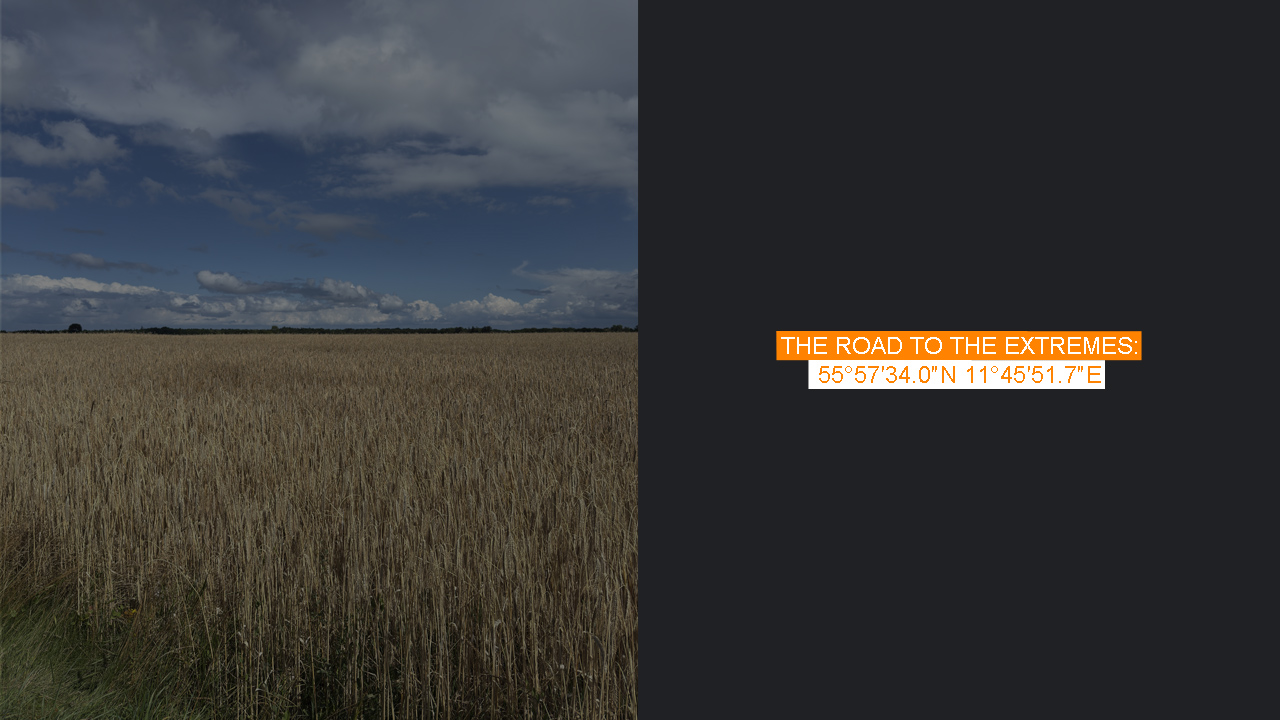
Compared to my adventures reaching the centres of Norway or Sweden — which demanded longer hikes, off-road travel, sometimes battling weather or remoteness — Denmark’s geographical centre is surprisingly easy to reach (if you happen to be “somewhat nearby”). But easy often brings anticlimax. There’s nothing more than a stone marker and an information board on Lokkemosevej, about 1.5 km north of Rørvig.
To the west of the marker the land rolls open: farms, fields, fjords glimpsed in the distance, the kind of scenery that defines much of Denmark’s pastoral character. But beyond the satisfaction of being there, there’s little that grabs the heart. If you want scenery, Rørvig Beach nearby is exceptional; Rørvig Harbour to the south has its own charm. The centre? Less so.
What might make the place more interesting is what I found online: there have been plans to build a nature-based experience there — the proposals include a 25-metre high viewing tower, a visitor centre, perhaps trails or installations. Such projects require boldness, and I’m not convinced it would pay off (economically or aesthetically) in a place that’s subtle and flat, rather than dramatic. Still, letting the centre remain modest has its appeal: it feels honest, understated.
Having visited the centre, only one Danish extreme point remained: Østerskær, a skerry near the Ertholmene Islands — Denmark’s easternmost point. It’s physically close to the main islands (just a few hundred metres), so reaching it wouldn’t be hard… if access weren’t restricted. Some day.