
If you have ever studied the Benelux countries on a map, you may have noticed that the very southern part of the Netherlands looks like a round-bottom flask — as if this piece of land was never really meant to belong to the country in the first place. A narrow wedge squeezed between Belgium and Germany, it is also distinctly more hilly than the rest of the Netherlands.
After my somewhat struggling visit to Vaalserberg, it felt good to be away from the masses. During the short drive of around ten kilometres, I had reason to celebrate. I had travelled the Netherlands from east to west, from its lowest point to its highest, and now I was approaching the southernmost point of the country. If we exclude the Caribbean parts of the Netherlands, there would actually be only one place left: Rottumerplaat, an uninhabited island which also happens to be the northernmost point of the Netherlands’ proper territory. Access to the island is prohibited, as Rottumerplaat is a resting and foraging area for numerous bird species — which basically means it is highly unlikely I will ever set foot there. But that was something to think about later. For now, I was quickly approaching today’s destination.
The road led into a Belgian village. Most of my drive had already been on the Belgian side of the border, but this small village felt unexpectedly pleasant. To my surprise, there were parking spaces along the road, but I continued driving past the village and toward the point itself. The road climbed a small hill and then stretched out toward open fields. That’s when I saw it: a large, beautiful oak tree with a cone-shaped border marker beneath it. I had already passed it before realizing what I had just seen, so I kept driving — and moments later found myself in front of an actual castle. Château de Beusdael, as I later discovered.
I awkwardly admired the castle for a while, took a few photos, and then turned around, drove back to the village, parked the car, and continued on foot.
There was surprisingly much going on in the village. A local brasserie promising “a view” had filled a parking lot with cars — or perhaps they simply had good coffee. Who knows. I walked uphill and out of the village once again. Just beyond the town sign, the road narrowed sharply, with a blind corner and no shoulder. This was clearly a place where drivers pressed the accelerator, making it one of those stretches where it’s important not to wander too deeply into your thoughts while walking.
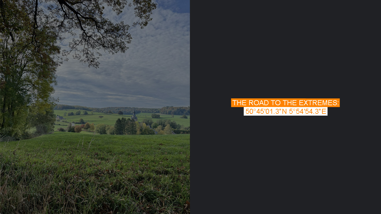
After a few hundred metres, I arrived. This was the very southernmost point of the Netherlands.
There they were again: the oak and the border marker, living their best lives together. Just uphill from the road was a small clearing offering a view over the fields and toward the castle. I found myself wondering whether the brasserie actually had a better view than this — or whether this quiet spot was the better reward.
I watched the passing cars to see if anyone would glance in my direction, or if people were completely unaware that the southernmost point of the Netherlands lay right here beneath this oak tree. Perhaps for the locals it was irrelevant. When you cross borders daily, they tend to lose their meaning. A few cyclists passed as well, some briefly glancing over, most not noticing at all.
And that was fine. It was calm, pleasant, and quiet — everything Vaalserberg had not been less than an hour earlier.