
I had already driven past the highest point of Luxembourg without realising it. Kneiff lies just a short distance from the Belgian border, on the same road I had taken earlier toward the country’s northernmost point. While refuelling near the border, I noticed that the shortest detour to Kneiff would take only about three minutes.
Fortunately, there were no cars behind me, because the turnoff came suddenly — a steep, stony little road climbing between the fields. With a lower car it might have been a challenge, but by steering carefully I managed to avoid the sharpest stones and made it up without trouble. Instead of looping around from the other side via the paved road all the way to the top, it was easier to simply drive straight up the hill. I parked along the edge of a field, selecting a firm patch of ground that wouldn’t turn muddy after the rain.
Looking around, I could see that this quiet ridge had changed a bit in recent years. In older Google Street View images there were no flagpoles or information signs here, but by the time of my visit both had appeared. There was no doubt now about the location — I had reached the highest point in Luxembourg.
Unlike in some other countries, there’s no ambiguity here about what counts as the summit. The exact spot is marked clearly on the ground with white paint and a small metal plate. In other places, this can be more confusing: Estonia’s highest point, for example, sits beside an observation tower that artificially raises the elevation, and Belgium’s is marked by a man-made mound. Luxembourg’s, by contrast, is modest and honest — simply the highest piece of ground in a quiet field.
By now it was already half past five, with sunset less than an hour away. Clouds filled the sky, giving the light a soft, grey tone. The journey here had been longer than expected: I had started from Luxembourg’s southernmost point, tried to reach Belgium’s southernmost one, continued to Luxembourg’s westernmost, then to its northernmost, and finally here. If I had to plan it again, I would definitely have booked a hotel closer by. I still had a four-hour drive ahead of me, south into Germany, and the thought of once again driving in darkness was not especially appealing.
Still, I took a few minutes to enjoy the calm of the place — a little windswept, a little muddy, but quietly beautiful. This field, near the village of Wilwerdange, has an unexpected history. For decades, Buurgplaatz, just a few hundred metres away, was considered Luxembourg’s highest point. It even has a monument and viewing platform built for that purpose. But a national survey in 1997 by the Administration du Cadastre et de la Topographie proved that Kneiff is actually one metre higher — 560 metres above sea level.
The measurements tell the story of a century of improving cartography. In 1905, the first topographic map of Luxembourg, made with a barometer by French cartographer Jules Hansen, placed Rindschleiden (“Napoleonsgaart”) at 562 metres and Buurgplaatz second at 555. In 1952, new photogrammetric surveys ranked Buurgplaatz at 559 metres, Kneiff at 558, and Rindschleiden at 549. Finally, with satellite-based GPS mapping in 1997, the truth was settled:
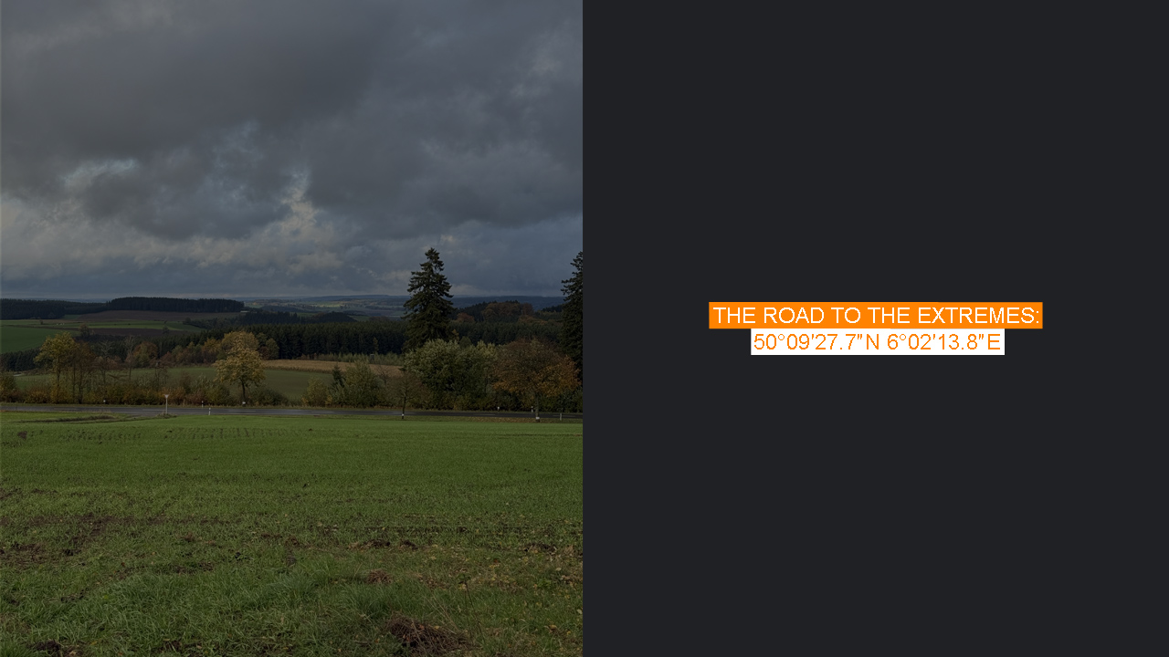
1. Kneiff (Wilwerdange) – 560 m
2. Buurgplaatz (Huldange) – 559 m
During both World Wars, this high ground near Wilwerdange and Huldange held strategic importance, especially during the Battle of the Bulge in the winter of 1944–45, when German forces crossed these very ridges into northern Luxembourg.
Today, though, Kneiff is peaceful — just a field at the top of a small country, marked by a sign, flagpoles, and a patch of white paint on the asphalt. I took one last look toward the Belgian hills in the fading light before heading back down the narrow road. In Luxembourg, even the highest point feels within reach. I looked at my hotel reservation and realized that I had a problem, the reception was closing a way earlier than I was arriving there.