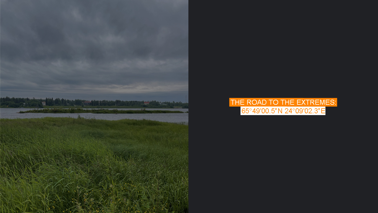
Sundholmen is, so far, the only extreme point I’ve visited twice on purpose—once in summer, once in winter. And no, it’s not because the place is particularly breathtaking or uniquely fascinating. It’s simply because it was conveniently on my route, and relatively easy to visit.
The first time was during a summer road trip north, toward Nuorgam—the northernmost point of Finland. After Kemi, the road splits: take a right to Rovaniemi, or continue west toward the Swedish border. Sundholmen had been on my long list of geographic curiosities, but it wasn’t a top priority. I figured I’d be back someday anyway—because nearby lies Kataja, the easternmost point within Sweden’s proper territory, located on an island a few kilometers off the mainland. Getting there would require arranging a boat or water taxi, and at the time, the idea of figuring that out felt like unnecessary hassle.
Still, I couldn’t be sure where boats to Kataja departed from—possibly Kemi—so I played it safe. Instead of turning toward Rovaniemi, I took the small detour to Tornio, then crossed the bridge into its Swedish twin, Haparanda.
From prior research, I knew the easternmost point of mainland Sweden lay behind a wastewater treatment facility at the southern edge of Haparanda. It’s worth noting: Haparanda isn’t a sprawling city. Fewer than 5,000 people live there, and the municipality as a whole isn’t much bigger. Yet in summer, the twin cities of Haparanda and Tornio can feel lively, especially as a waypoint for travelers heading to Lapland or Norway.
Near the easternmost point is the Cape East hotel and spa, a recognized stop with a large caravan campsite. The area felt bustling, and standing at the campsite looking at the road blocked by a gate and a “No Unauthorized Access” sign, I could understand why others had hesitated. The gate was open, sure—but when would it close? I’d been caught out by gates like that before. The signage was clear enough that it felt risky. Still, I wandered the campsite’s perimeter, trying to assess my options. After all, if Google Street View had driven that road, how illegal could it really be?
Luckily, at the eastern edge of the campsite, down by the river, I found a sign marked “Till Öråd” pointing along a clear path in the right direction. Heavy rain was forecast, but for the time being, only the mosquitos were causing trouble—and there were a lot of them. A perfect storm: humid weather, proximity to the river, and the height of mosquito season. They were thriving—and aggressively defending their turf.
Finding the exact easternmost point isn’t as easy as it sounds. Overgrown bushes crowd both the riverside and the forest edge, and wading through them in shorts isn’t something I’d recommend. Some previous visitors referenced Riksröse 59, a border stone in front of an old red-painted cottage, but that’s not actually the easternmost point. Another marker notes “292.4 meters,” indicating that at this spot, the actual border lies that much farther east—mid-river.
More intriguing for many visitors is the so-called Öråd, which the trail sign also pointed to. In 2020, during the COVID-19 pandemic, the Swedish version of the reality show Robinson (equivalent to Survivor in the U.S.) relocated its tribal council to Sundholmen. What’s amusing is that they left much of the tribal council set intact. A quirky reward for those who make the trek—fans of the show or not.
And that’s when the rain came—pouring. I found brief shelter under the roof of the red cottage, entertained by what looked like a jet ski event across the river on the Finnish side. But the rain seemed to awaken the mosquitoes to a new level of fury. Staying put became impossible. On my return walk, soaked and swatting the air, I made one last effort to locate the precise easternmost spot—at least as best I could.
A bit over six months later, I found myself back in the area for a winter expedition—an attempt to ski across the frozen sea to Kataja. I stayed in Tornio, mostly out of necessity; Haparanda was booked solid, likely due to a local folk music festival.
I arrived from Kemi around midday. The weather forecast promised ideal conditions for my ski adventure the next day. Still, my restless nature wouldn’t let me sit still, so I decided to check out the starting point of my route near Cape East. And, with a quiet side agenda, I figured I might revisit Sundholmen while I was at it.
It’s about a 50-minute walk, and even mid-March, darkness sets in early. Snow was forecast—and as you’d expect, it started just as I approached Sundholmen.
Winter transformed everything. Fishermen dotted the frozen river, snowmobiles roared by occasionally, and the outdoor spa pool at Cape East sent up great plumes of steam. Locating the easternmost point was still a challenge. With everything under a thick layer of snow and ice, GPS became the only reliable guide. It was impossible to tell land from river just by looking.
This second visit was a bonus, an unexpected winter version of a place I thought I already knew. But it reminded me just how much weather, season, and light change our experiences of these places. Sundholmen remained accessible—but the thoughts, moods, and atmosphere were entirely different.
Walking back to my hotel in the softly falling snow, I kept wondering: did I prefer it in summer or in winter? I couldn’t decide. And anyway, my thoughts were already shifting to the next day’s real adventure—Kataja.

